Quick Links
Regional Corridor Transportation Plan
Upper Valley Strong COVID-19 Regional Info/Assistance
UVLSRPC Household Hazardous Waste Website
UVLSRPC Waste Management Website


Follow Us on Social Media!

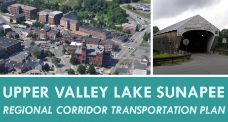
Regional Corridor Transportation Plan
Upper Valley Lake Sunapee Regional Planning Commission (UVLSRPC) is charged with creating a long-range regional transportation plan for the 27 communities in the Upper Valley Lake Sunapee region of New Hampshire. The Regional Corridor Transportation Plan focuses on the region’s major transportation corridors to present a 15-year vision for an improved transportation system.Download the complete Regional Corridor Transportation Plan
Purpose of the Plan
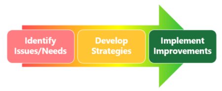
- Identify needed improvements to the regional transportation system - based on public input, data analysis, and existing plans and studies.
- Create action plans to help needed transportation improvement projects compete for various funding opportunities, such as New Hampshire’s Ten-Year Transportation Improvement Program (“Ten-Year Plan”).
Staff Contact: Andrea Cass (acass@uvlsrpc.org)
Regional Transportation Planning Process
Transportation networks (e.g., roads) and services (e.g., buses) go beyond town boundaries. The regional transportation planning process seeks to identify the highest-priority transportation improvement projects for the region in order to promote safety, mobility, and access.
Upper Valley Lake Sunapee Regional Planning Commission leads this collaborative process, with involvement from the region's communities, the NH Department of Transportation, public transit and transportation service providers, and the general public. UVLSRPC convenes these groups regularly through the Transportation Advisory Committee.
A Corridor-Based Approach to Planning
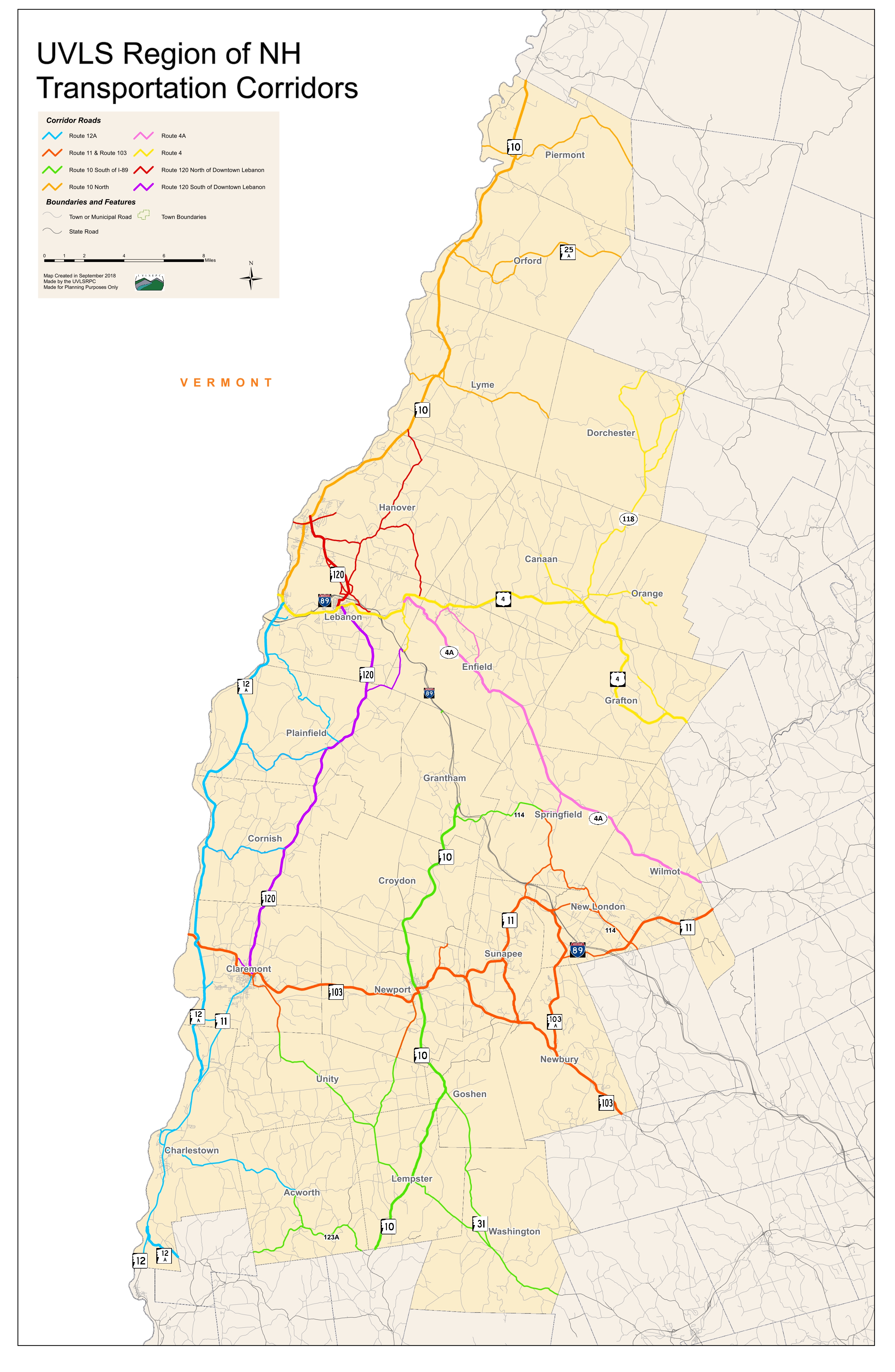
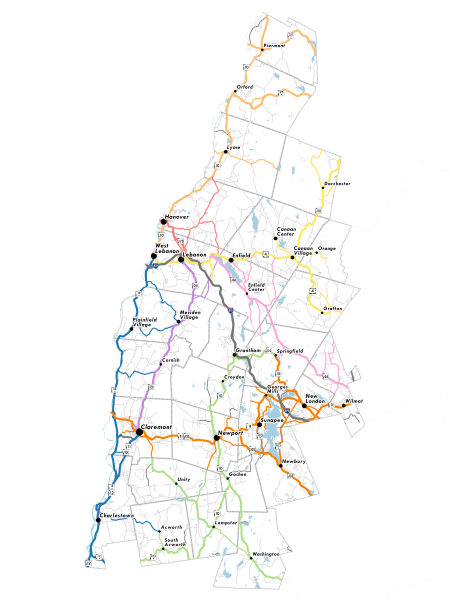
In our region, state and US highways form "corridors" that connect multiple towns to each other. By taking a look at the entire corridor, UVLSRPC can better understand both local and regional transportation needs. This includes both the main state highways (e.g., NH Route 120) and important connecting local/state roads (e.g., Etna Road in Lebanon).
Major transportation corridors in the Upper Valley Lake Sunapee region:


Multi-Modal Transportation
The regional transportation planning process does not just focus on personal vehicles. The process accounts for mutiple modes of transportation: driving, walking, bicycling, public transportation, and freight. Rail and aeronautics transportation are not a focus of this plan.